 |  |
| (Station Photograph - click to enlarge) | (Sensor Layout - click to see PDF File) |
| CESMD |
| Information for Strong-Motion Station |
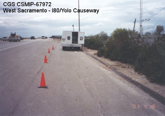
| West Sacramento - I80/Yolo Causeway |
| CGS - CSMIP Station 67972 |
| Earthquakes recorded by this station |
| |
| (Station Photograph - click to enlarge) | (Sensor Layout - click to see PDF File) |
| Latitude | 38.5728 N |
| Longitude | 121.5870 W |
| Elevation (m) | 8 |
| Site Geology | |
| Vs30 (m/sec) | |
| Site Class |
| No. of Spans | 220 |
| Plan Shape | Straight. |
| Total Length | 8800' (2682.4m). Bridge spans are 40' (12.2m). |
| Width of Deck | 135.4' (41.3m) min. |
| Construction Date | 1963 |
| Instrumentation | 2000. 9 accelerometers on the bridge. 3 accelerometers at a free-field site. |
| Superstructure Type | Prestressed inverted W sections. Right and left structures were widened with inverted double T median to form single structure. Open end diaphragm abutments. |
| Substructure Type | Octagonal concrete piles. 15 piles per bent. Large concrete piles were added to both sides of each frame structure during the 1997 retrofit. |
| Foundation Type | Prestressed concrete piles. |
| Remarks | This bridge was instrumented under the interagency agreement between Caltrans and DOC. The bridge was widened in 1969 and 1986, and retrofitted in 1997. |