Acceleration
Station: Redlands, CA - Seven Oaks Dam - Project Office
Station Owner: United States Geological Survey
Station Latitude & Longitude: 34.1110, -117.0990
Earthquake: Big Bear City 2003-02-22 12:19:00 UTC
Hypocentral Distance: 32.0 km
(Use the back button on your browser to return to the previous page)
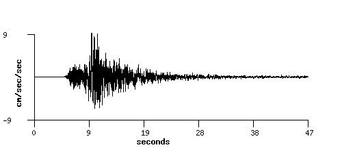
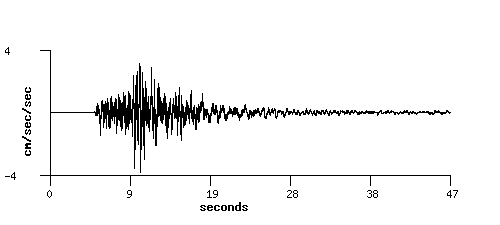
|
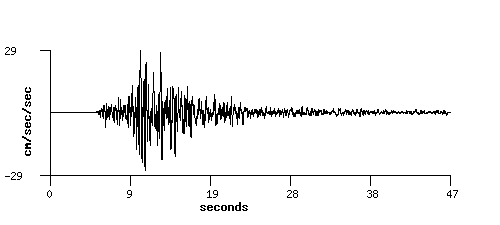
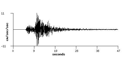
| Component: 90 |
Intake structure |
|
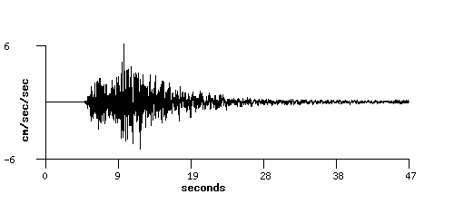
|
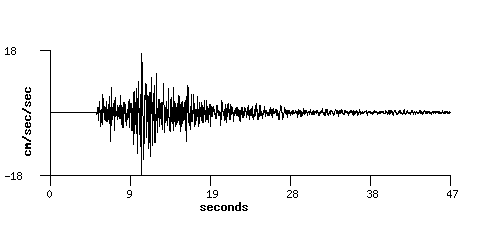
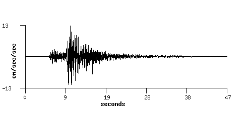
| Component: 360 |
Intake structure |
|

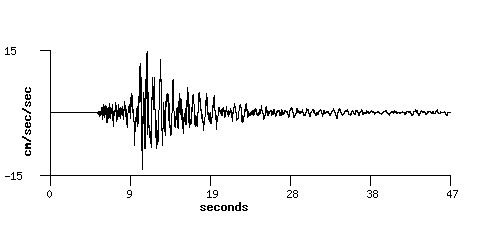
|
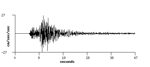
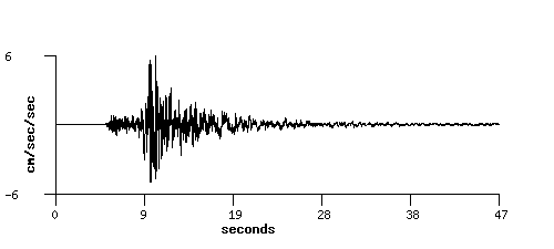
| Component: Up |
Intake structure |
|
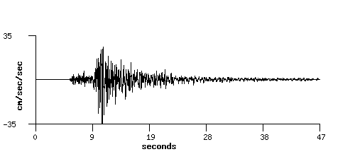
|
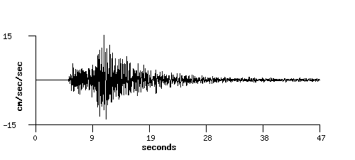
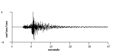
| Component: Up |
Ctr Crest, downhole 152ft |
|

|
| Component: 90 |
Ctr Crest, downhole 152ft |
|

|
| Component: 360 |
Ctr Crest, downhole 152ft |
|
|
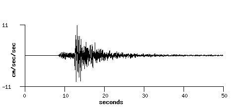
| Component: 90 |
Ctr Crest, surface |
|
|
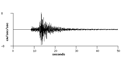
| Component: 360 |
Ctr Crest, surface |
|
|
| Component: Up |
Ctr Crest, surface |
|
|
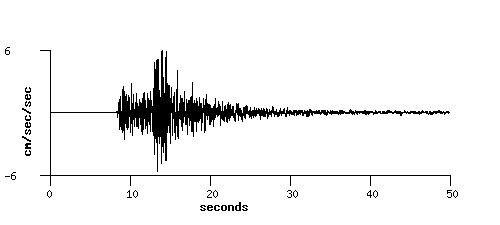
| Component: 90 |
Right Crest |
|

|
| Component: 360 |
Right Crest |
|
|
| Component: Up |
Right Crest |
|
|
| Component: 90 |
Right Abutment |
|
|
| Component: 360 |
Right Abutment |
|
|
| Component: Up |
Right Abutment |
|

|
| Component: 90 |
Tunnel Chamber |
|
|
| Component: 360 |
Tunnel Chamber |
|
|
| Component: Up |
Tunnel Chamber |
|
|
| Component: 90 |
Downstream array: Downhole 53' |
|
|
| Component: 360 |
Downstream array: Downhole 53' |
|
|
| Component: Up |
Downstream array: Downhole 53' |
|
|
| Component: 90 |
Downstream array: Surface |
|
|
| Component: 360 |
Downstream array: Surface |
|
|
| Component: Up |
Downstream array: Surface |
|
|
Home +
Login +
Download +
About Us +
Contact
Earthquakes +
stations +
Search +
Map +
Advanced Search
|